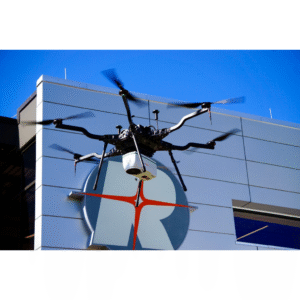
The benchmark for integrated miniaturized topo-bathymetric UAV LiDAR solutions With the RIEGL VUX-820-G, RIEGL offers a new “All‑In” package that delivers a powerful, ready‑to‑deploy solution for demanding near‑shore and shallow‑water mapping missions.
Organizations and survey teams performing topo-bathymetric mapping are using the RIEGL VUX-820-G. Now lighter than ever, the RIEGL VUX-820-G weighs just 5.4 kg (11.9 lbs), enhancing its versatility and performance on lightweight UAV platforms while enabling complete drone systems to remain under 55 lbs. By enabling easy integration and handling, this solution makes bathymetric LiDAR more accessible for professionals in hydrography, environmental monitoring, and coastal management.
How is it making an impact?
The RIEGL VUX 820 G is making an impact by giving survey teams a practical way to capture seamless topo bathymetric data in challenging shallow water environments. Its ability to penetrate up to 2.2 Secchi depths and deliver 15 mm precision allows organizations to map near shore zones, rivers, and coastal areas that are difficult for vessels or larger aircraft to access. By deploying the system on a lightweight UAV, users reduce cost, improve safety, and collect high quality data.