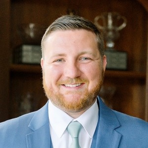
I am the UAS Program Coordinator and Adjunct Faculty member at Sinclair Community College in Dayton, Ohio, where I train pilots and help develop UAS workforce skills for students entering the drone industry. I hold an FAA Remote Pilot Certificate, Private Pilot License, and Instrument Rating, along with Pix4D Trainer Certifications, a Phoenix LiDAR processing and acquisition certification, and UAS Level 1 thermography training. I earned my Bachelor of Science in Unmanned Aircraft Systems from Lewis University, and I’m currently pursuing a Master’s degree in Geographic Information Systems along with a Graduate Certificate in Remote Sensing and Earth Observations at Penn State University. Before joining Sinclair, I built my UAS career through an internship at Argonne National Laboratory researching global sUAS regulatory frameworks, work as a LiDAR Flight Services Pilot at PrecisionHawk, a role as a Small Unmanned Aircraft Systems Flight Operator at Amazon, and more than three years at Workhorse Group, where as the Assistant Chief Pilot I established a remote sensing department specializing in LiDAR and multispectral data while overseeing a team of nine pilots. At Sinclair, my focus goes beyond stick-and-rudder flying . I train the next generation of UAS pilots to be data-driven, remote sensing-savvy professionals equipped for the full range of industry applications.
