Last year, RIEGL presented its IMU/GNSS solutions RiLOC-E-25 and RiLOC-F at Intergeo, enabling it to offer high-performance LiDAR sensors and matching IMU/GNSS solutions from a single source.
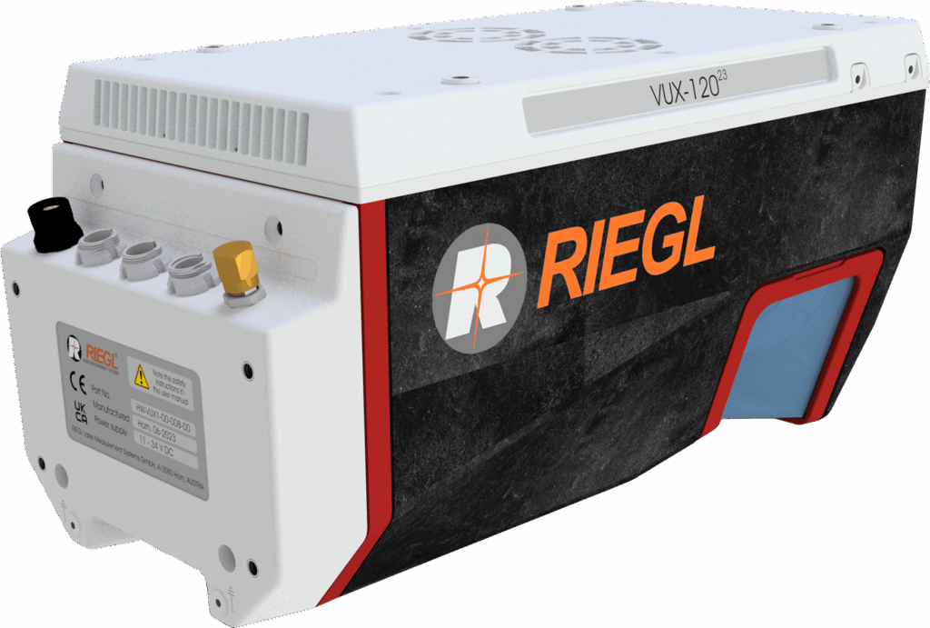
RIEGL now provides a new high-precision, fully integrated subsystem for localization and orientation (Localization/Orientation/Component), the RiLOC-F-inside IMU/GNSS solution for VUX-series laser scanners, that is fully integrated in the VUX-100-25, VUX-120-23, VUX-160-23 and VUX-180-24 UAV LiDAR sensors. It includes a high precision Micro Electro Mechanical System (MEMS) Inertial Measurement Unit (IMU), a GNSS unit, and corresponding software.
Redefining size, weight, and performance standards:
- High-precision positioning: 0.02 – 0.03 m (post-processed)
- No increase in system dimensions
- Minimal additional weight
- Tightly coupled IMU, GNSS, and LiDAR data
- Fully integrated into the RIEGL post-processing workflow
The solution you’ve been looking for.
An all-in-one fully integrated system for small-scale LiDAR surveys with multirotor, fixed-wing, or VTOL drones!
More info: https://www.riegl.com/infosheet_riloc-f/