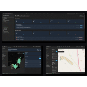
geoSAP is a cloud-based platform designed to streamline the entire geospatial data lifecycle—from field collection through processing and final delivery. By standardizing workflows and integrating real-time QA/QC, geoSAP reduces rework, accelerates turnaround times, and improves data consistency. Built for LiDAR and imagery workflows, geoSAP enables teams to move from raw data to deliverables faster while maintaining high-quality outputs.
geoSAP is used by a wide range of organizations—from entry-level UAV operators to large geospatial and engineering firms—seeking to standardize workflows, scale operations, and improve data quality. It also supports sensor manufacturers, surveyors, engineers, and government agencies in delivering consistent, high-quality geospatial data for mapping, modeling, and decision-making.
geoSAP is enabling geospatial firms, engineering companies, and asset owners to deliver projects faster and with greater confidence. By improving workflow efficiency and data quality, geoSAP supports applications such as infrastructure mapping, flood modeling, environmental monitoring, and asset inspection.