What is it?
DroneTwins360 turns drone, camera, and smartphone imagery into decision-grade 2D and 3D models for digital twin workflows.
Before processing, imagery is validated with TrustRank against ESA and EUSPA reference datasets, including Copernicus, Sentinel-2, and Galileo HAS, to detect manipulated imagery, AI-generated content, altered metadata, and tampered datasets.
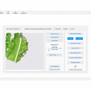
DT360 then provides fast previews, coverage checks, Gaussian Splatting workflows, and exports in PLY, TIF Orthomosaic, OBJ, FBX, glTF, and MP4.
Who is using it?
DT360 is used by teams relying on imagery for planning, documentation, measurement, reporting, and validation.
Industries: surveying, construction, urban planning, insurance/claims, cultural heritage, GIS/CAD/BIM, public-sector and regulated workflows.
Job titles: drone pilot, UAV operator, surveyor, GIS manager, BIM manager, construction manager, project manager, urban planner, infrastructure manager, claims assessor, loss adjuster, reality capture specialist.
How is it making an Impact?
DT360 helps teams catch weak or manipulated imagery before reconstruction, reducing rework and improving trust in outputs used for planning, claims, measurement, and reporting.
Use case: a drone survey dataset is validated at intake, checked for coverage, processed into orthomosaic/3D outputs, and exported for GIS, BIM, or claims review.